


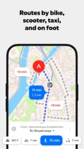
Yandex Maps and Navigator is designed to help you navigate cities efficiently, offering a range of tools to get around. Users can plan routes for various transport modes, receive real-time traffic forecasts, and track public transport movement. The app includes a Navigator feature with voice prompts for turns and road conditions, and integrates the Alice voice assistant for hands-free interaction, making it suitable for finding locations and optimizing travel.
Navigator for Drivers and Pedestrians
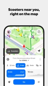
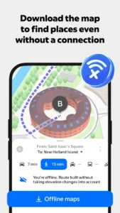
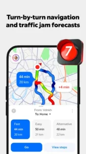
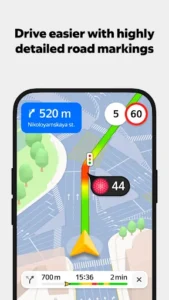
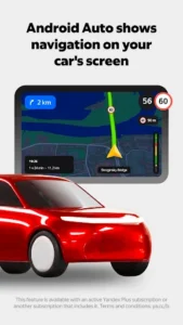
This app’s Navigator feature provides real-time traffic forecasts to help users avoid congestion and suggests faster routes if traffic conditions change. It offers voice prompts for turns, cameras, speed limits, accidents, and roadworks, allowing for navigation without constantly looking at the screen. The Alice voice assistant is integrated, enabling users to find places, create routes, or call numbers from their contact list using voice commands. For drivers, the app supports use on a car screen via Android Auto, provides information on city parking and associated fees, and allows users to pay for gas directly within the app at over 8000 gas stations across Russia. Pedestrians benefit from voice prompts during walking routes, while cyclists receive warnings about crossings and exits to motorways. For scooter users, the app suggests bikeways. Offline navigation is available by downloading maps in advance.
Detailed Place and Business Search
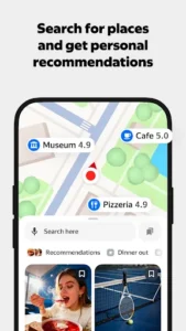
Yandex Maps allows users to search a business directory using filters, providing detailed address results that include specific entrances and driveways. For businesses, the app displays comprehensive information such as contact details, working hours, a list of services, photos, visitor reviews, and ratings. It also features indoor maps for large shopping malls, train stations, and airports, aiding navigation within complex structures. This search functionality remains available even without an internet connection if an offline map has been downloaded. Users can save their favorite cafes, shops, and other spots to My places and access this saved information across different devices.
Real-time Public Transport Information
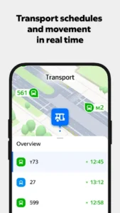
The app offers real-time tracking of buses, trams, trolleybuses, and minibuses, showing their movement directly on the map. Users can choose to display only selected routes to de-clutter the view. It provides public transport schedules for the next 30 days and gives expected arrival times at specific stops. The app helps locate public transport stops, metro stations, and other key facilities, and offers information on congestion levels within metro stations. For metro users, it details the most convenient exits and transfers for a given route, and a specific feature for Moscow, Novosibirsk, or Saint Petersburg indicates whether to use the first or last metro car.









Write a review